
Find Your USDA Plant Hardiness Zone (2023 Map)
As an urban gardener with 12 years of transforming concrete jungles into thriving oases, I've seen countless beginners panic over plant zones. Here's the reality: for 95% of small-space growers, your exact zone number rarely determines success. What truly kills plants? Ignoring microclimates—like heat radiating from brick walls or cold air pooling in sunken patios. The USDA's 2023 update confirms this shift, but it's not the full story for city dwellers.
Why Plant Zones Feel Confusing (And When to Ignore Them)
Plant hardiness zones, defined by average annual extreme winter minimum temperatures, were never designed for cities. The USDA map (based on 30 years of weather data) works best for open rural areas. But in urban environments:
- Buildings create "heat islands" that can push your microclimate 1-2 zones warmer
- Elevation changes on a single street alter frost risk (e.g., valley lots vs. hilltops)
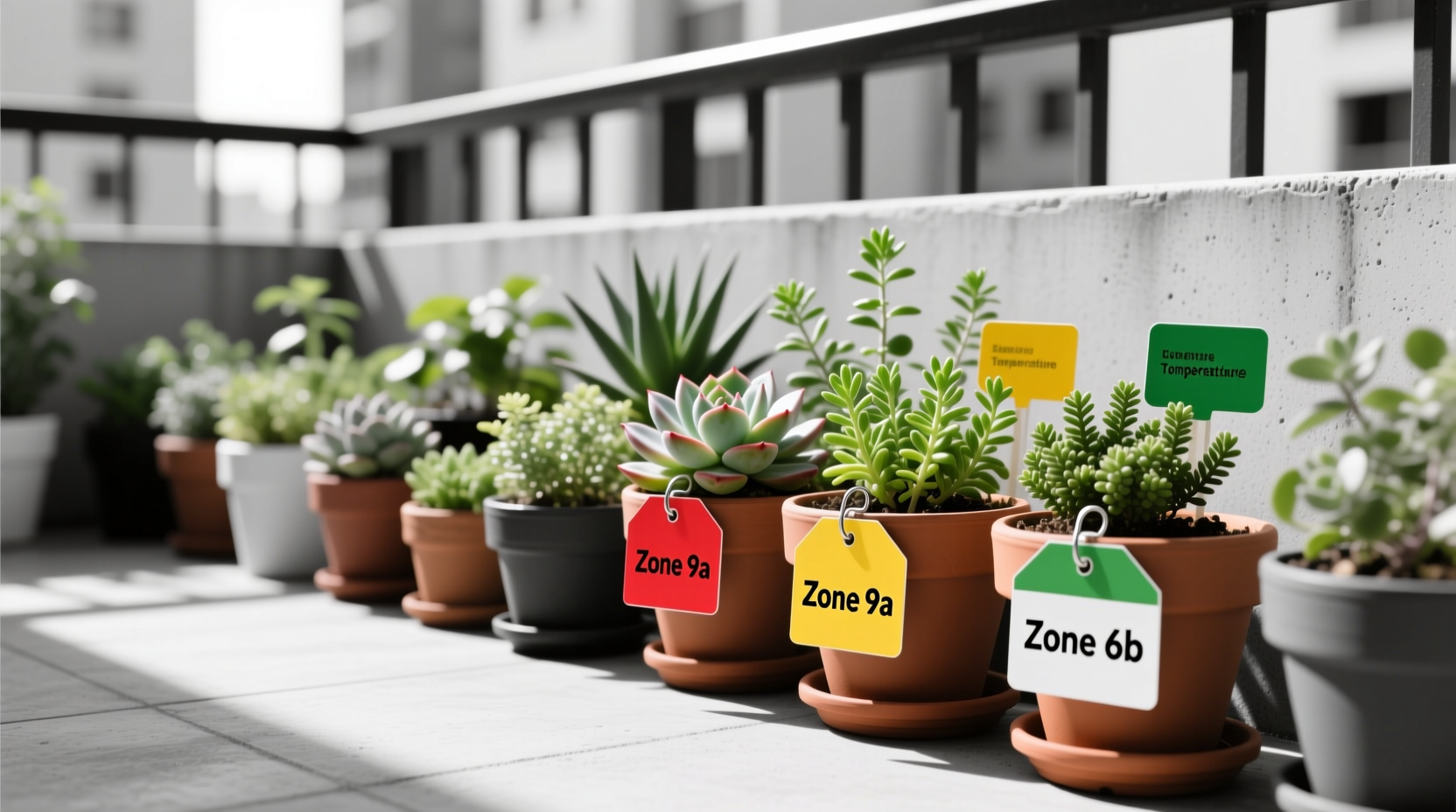
- Container gardening bypasses zone limits entirely—you control the soil and can move pots
As Utah State University's forestry extension notes, microclimates require conservative zone selection in built environments. If you're growing in pots on a rooftop, your "zone" is whatever you make it.
Find Your Zone in 60 Seconds (No Guesswork)
Forget outdated paper maps. Use these free, instant tools with the latest 2023 USDA data:
- Visit planthardiness.ars.usda.gov (official USDA site)
- Enter your ZIP code—it auto-detects your zone based on 13,412 weather stations
- Zoom in on the interactive map to see hyperlocal variations (critical for cities)
Pro tip: Cross-reference with the Southeast Climate Hub's analysis showing how urban heat accelerated zone shifts. If your city's average minimum rose by 5°F since 2012, you're likely in a warmer half-zone than old charts suggest.
USDA Zone Map Updates: What Changed in 2023
| Feature | 2012 Map | 2023 Map | Why It Matters for Small Spaces |
|---|---|---|---|
| Data Period | 1976-2005 | 1991-2020 | Reflects recent warming—your zone may now support plants that failed 10 years ago |
| Weather Stations | 7,983 | 13,412 | Higher density reveals micro-zones in cities (e.g., downtown vs. suburbs) |
| Zone Shifts | N/A | ~50% of U.S. moved +0.5 zones warmer | Container gardeners can safely experiment with marginally hardier plants |
| Alaska Detail | Limited | High-resolution | Irrelevant for urban growers—but shows USDA's improved precision |
Source: USDA ARS announcement
When Zone Accuracy Matters (And When It Doesn't)
Don't waste energy where it won't pay off. Use this decision framework:
| Scenario | Use Exact Zone? | Practical Action |
|---|---|---|
| Planting fruit trees in-ground | Yes | Choose varieties rated for your zone +1 (e.g., zone 7 tree in zone 6) |
| Container gardening on balconies | No | Grow zone 8 plants in zone 6 by moving pots indoors during frost |
| Vertical gardens on brick walls | Partially | Add 1 zone for sun-facing walls; subtract 1 for north-facing |
| Rooftop vegetable plots | No | Focus on season length and wind exposure—zones are irrelevant here |
The biggest mistake I see? Buying "zone 5" perennials for a zone 6 city garden. Why? Because that shaded courtyard behaves like zone 4. Always test plants in one spot for a year before committing. The USDA map is a starting point—not gospel.
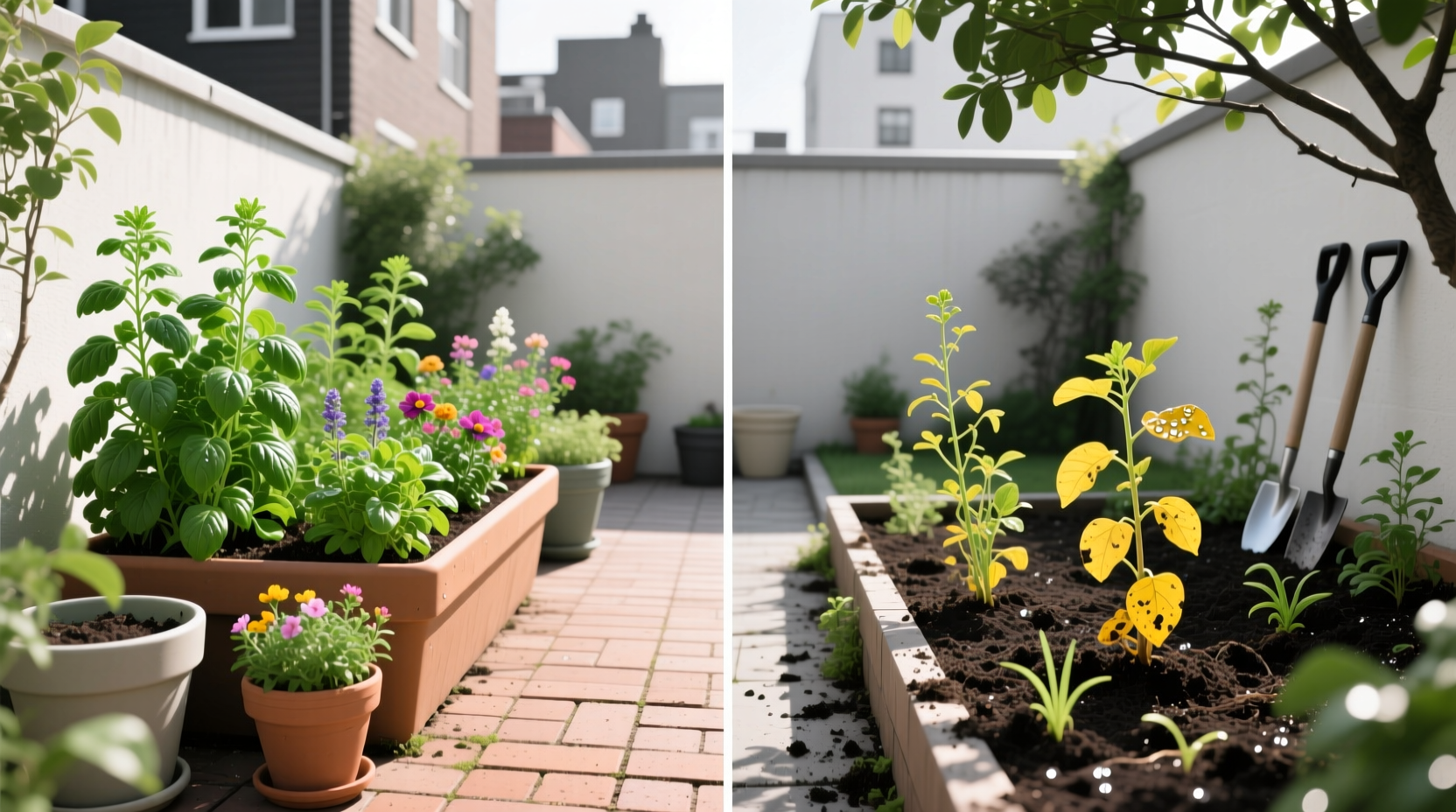
3 Microclimate Hacks for Small-Space Success
Forget zone anxiety. Do this instead:
- Map your frost pockets: On a clear, cold night, place thermometers in different spots (balcony corner, near building). Note where temps drop lowest—that's your real "zone" for sensitive plants.
- Leverage thermal mass: Place containers against south-facing brick walls. The stored heat can create a 2-zone warmer microclimate (verified by Climate Hubs data).
- Use containers as zone modifiers: Grow marginally tender plants (like zone 8 rosemary) in pots. Drag them under eaves during freezes—no zone limitations.
Remember: The USDA map serves crop insurance and commercial growers. For your 4x4 ft balcony garden? Local observation beats any map.
Everything You Need to Know
Use the official USDA Plant Hardiness Zone Map at planthardiness.ars.usda.gov. Enter your ZIP code for instant results based on 13,412 weather stations. No registration needed—it’s publicly funded and updated in 2023 with 30 years of climate data.
Most areas shifted half a zone warmer than the 2012 map, especially in the Southeast where urban heat accelerated changes. For example, Atlanta moved from 7b to 8a. Check the USDA site directly—don’t rely on old nursery tags. This reflects real climate shifts, not map errors.
Zone maps only address minimum winter temperatures. In cities, microclimates (like heat-trapping sidewalks or frost pockets) override zone data. Also, container plants face different stresses—check soil drainage and sun exposure first. As Utah State Extension warns, urban areas need “conservative zone selection” due to local variations.
Absolutely—and this is ideal for small spaces. Containers let you move plants to shelter during freezes. Grow zone 8 plants (like citrus) in zone 7 by placing pots against south-facing walls in winter. The USDA Southeast Climate Hub confirms this works because urban “heat islands” often create warmer microclimates than maps show.
Cross-check with the official USDA map first. Nurseries sometimes oversimplify zones for marketing. Urban gardeners should add 1 zone for sun-exposed walls or subtract 1 for shaded areas—as detailed in Utah State University’s forestry guidelines. Always prioritize your local microclimate observations over generic labels.